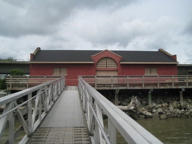
Sapperton Landing Park, the Wharf.
This building - the Wharf - is located 180 degrees from yesterday's tugboat photo. It dates from the 1930s.
The Wharf was a transfer point for food, wood, coal, supplies and prisoners as this landing point on the Brunette River (and its confluence with the Fraser River) was once the location of a First Nations' village, a Royal Engineers' camp, the first colonial legislature of BC and a federal penitentiary.
No comments:
Post a Comment