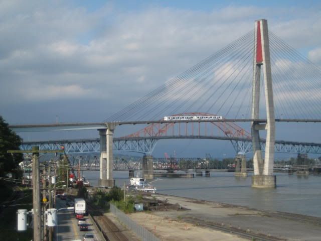
View of the SkyTrain suspension bridge, the Patullo Bridge, and the railway bridge (which opens to let boats through). The road running parallel to the Fraser River is Front Street. Just beyond the bridge is the confluence of the Fraser and Brunette rivers.
No comments:
Post a Comment